Grand Canyon Rafting Trip 2013
August 9-14 my 11-year-old son Aidan and I took a Colorado River rafting trip in the Grand Canyon. The trip was booked through O.A.R.S. about a year in advance, which is the recommended time to book in advance, due to the popularity of Grand Canyon trips. We did the first of three segments that O.A.R.S. does, from the eastern end at Lee's Ferry to Phantom Ranch.
I plan to write up the story about the trip separately. For now, here are some pictures from the trip. Click on any picture for a larger version.
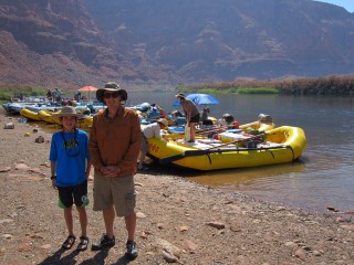
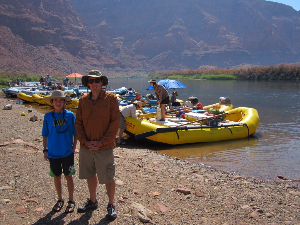
Rip roaring and ready to go at the launching beach at Lee's Ferry just downstream from the Glen Canyon Dam. Our trip leader Andrea is in the background pumping up one of our seven rafts.
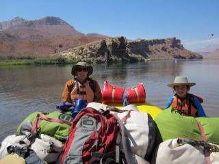
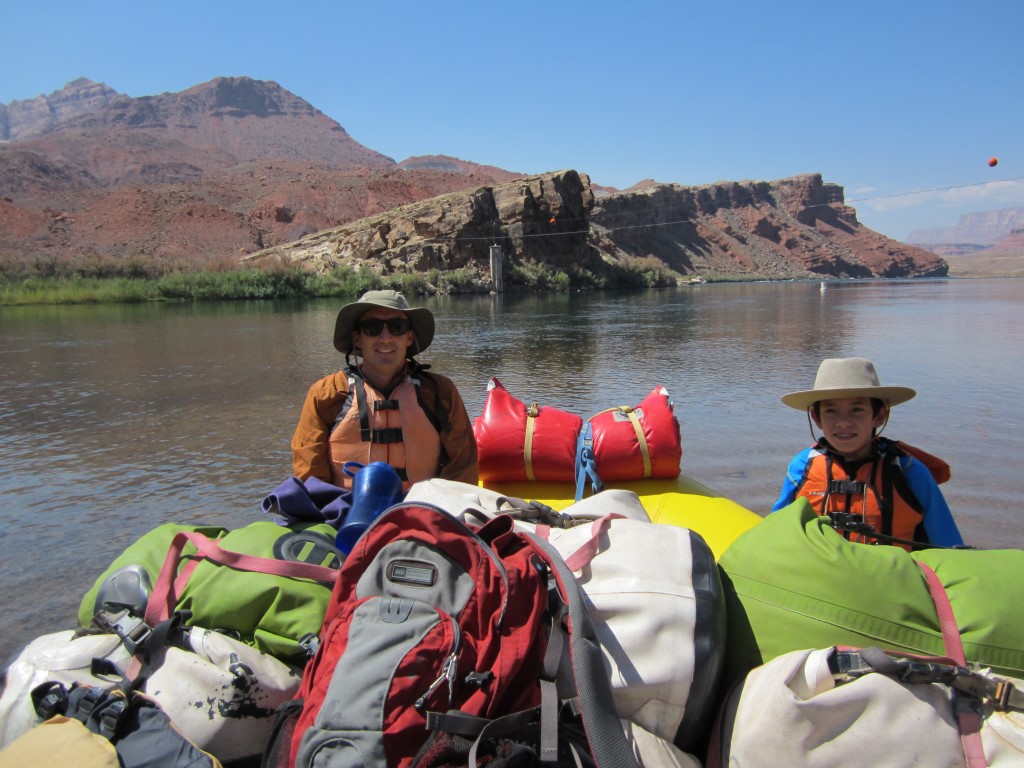
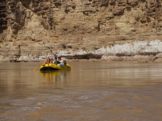
Off we go!

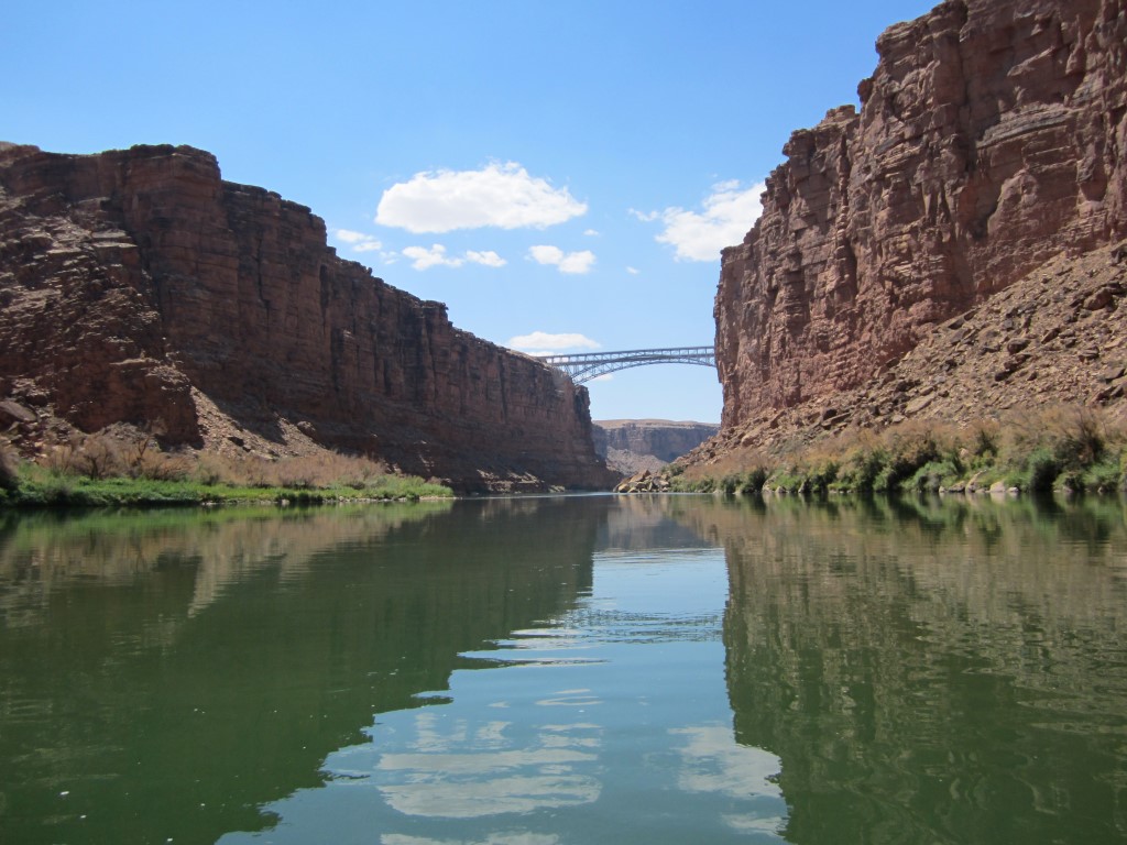
The Navajo Bridges. You can't tell from this picture, but there are two, one for cars and an old one for pedestrians. The next car crossing downstream over the Coloroado River is the Hoover Dam, about 300 river miles away.
Camping spot #1. This was a nice sandy peninsula on the shady south side of the river we used as common space for meals. Behind me was plenty of space for each family to stake out their own spot.
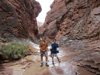
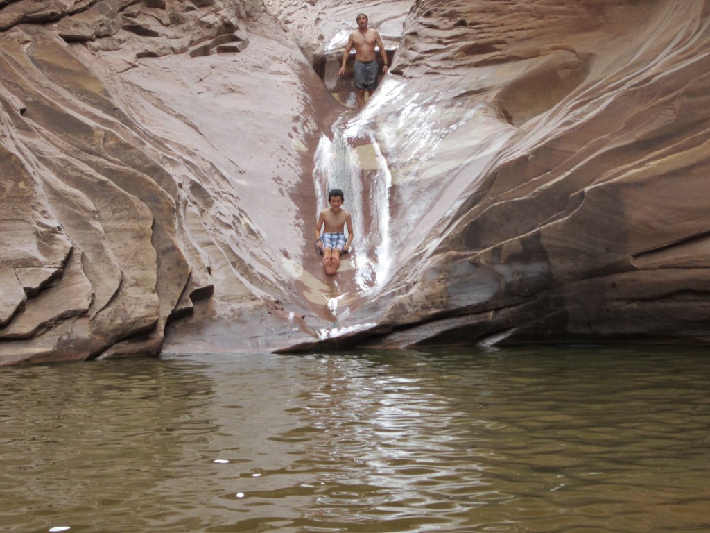
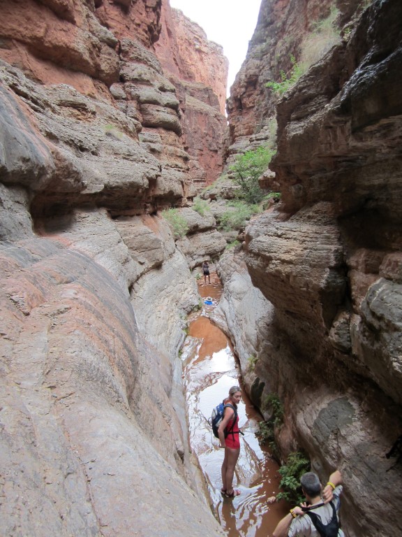
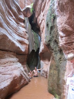
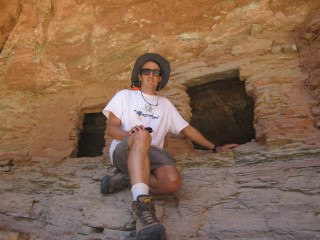
On a hike through a small side canyon.

The goal of the hike, a natural water slide and pool.

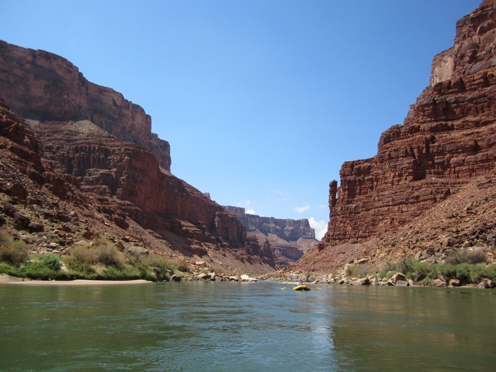
At mile 23 in the canyon. The spire on the right side is known as Indian Dick. Please forgive for my lanaguage, but it is literally called that on the maps. My picture doesn't capture it as well as this one.

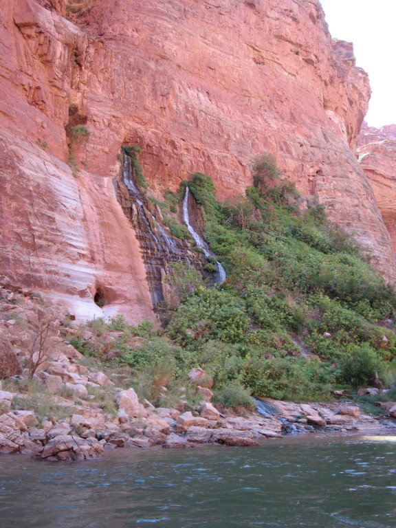
Vasey's Paradise at mile 32. We saw several springs pouring out of the canyon sides but this was the best east of Phantom Ranch, at least in my opinion.
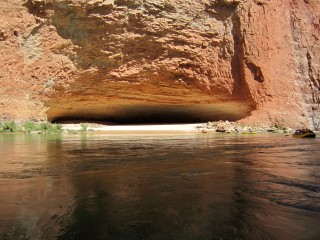
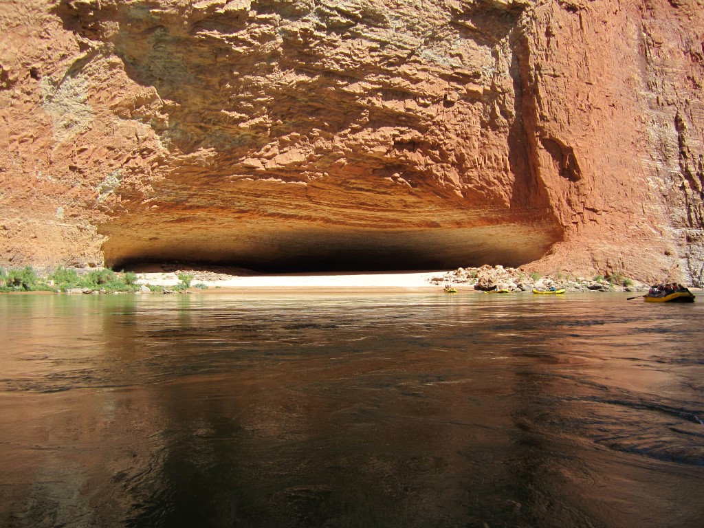
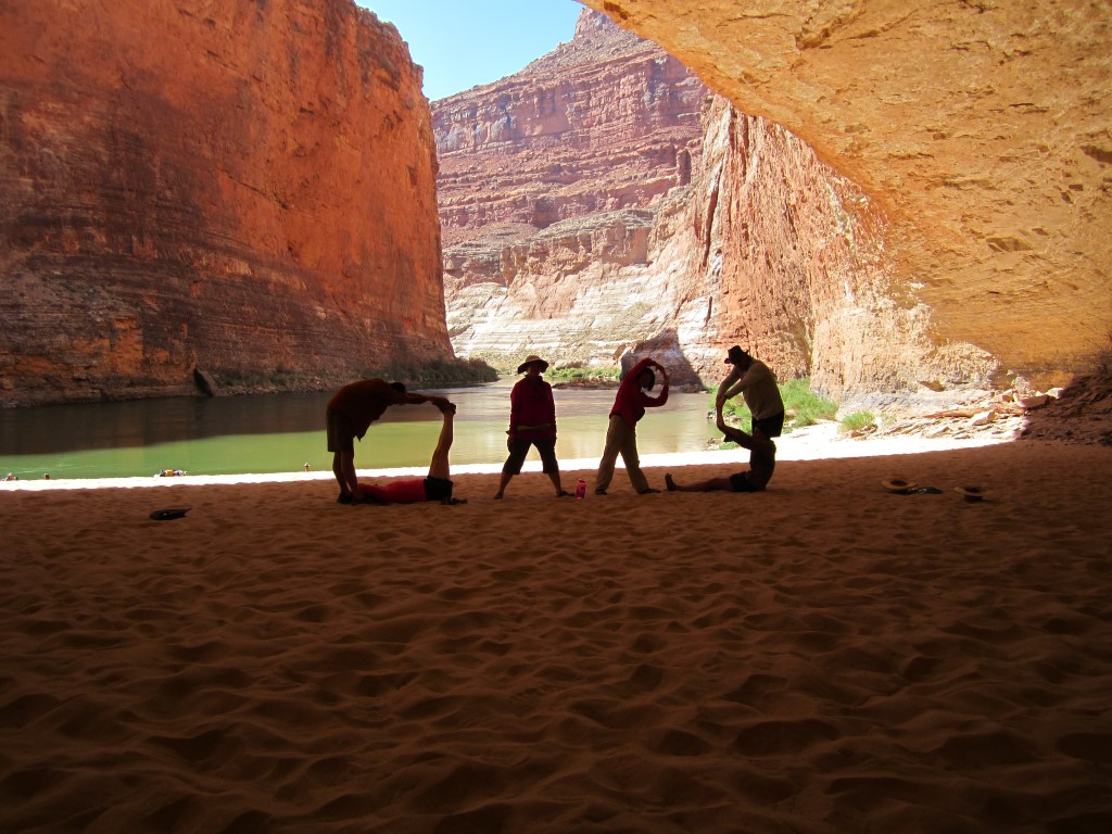
Redwall Cavern at mile 33. Click on any image to see a larger version. Note how big it is compared to the raft on the right side. John Wesley Powell wrote that it could seat 50,000 people -- although I think that estimate is high. I'd put it more like 5,000. Then again, since his first 1869 expedition of the Grand Canyon, I think we're more spoiled and expect more leg and elbow room than he would have.
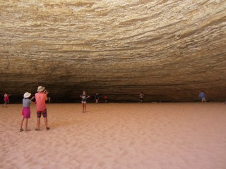
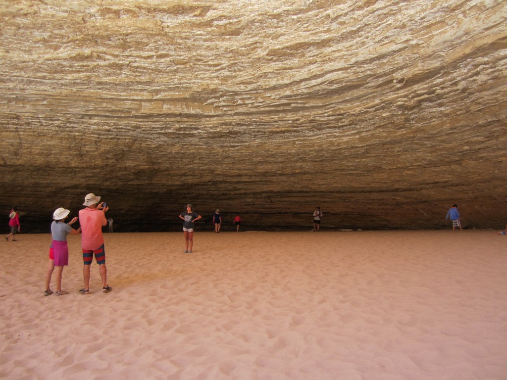
Inside the cavern.
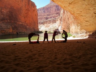
We're trying to spell "OARS." I'm the top part of the O.
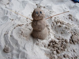
My son often amused himself making sandmen.

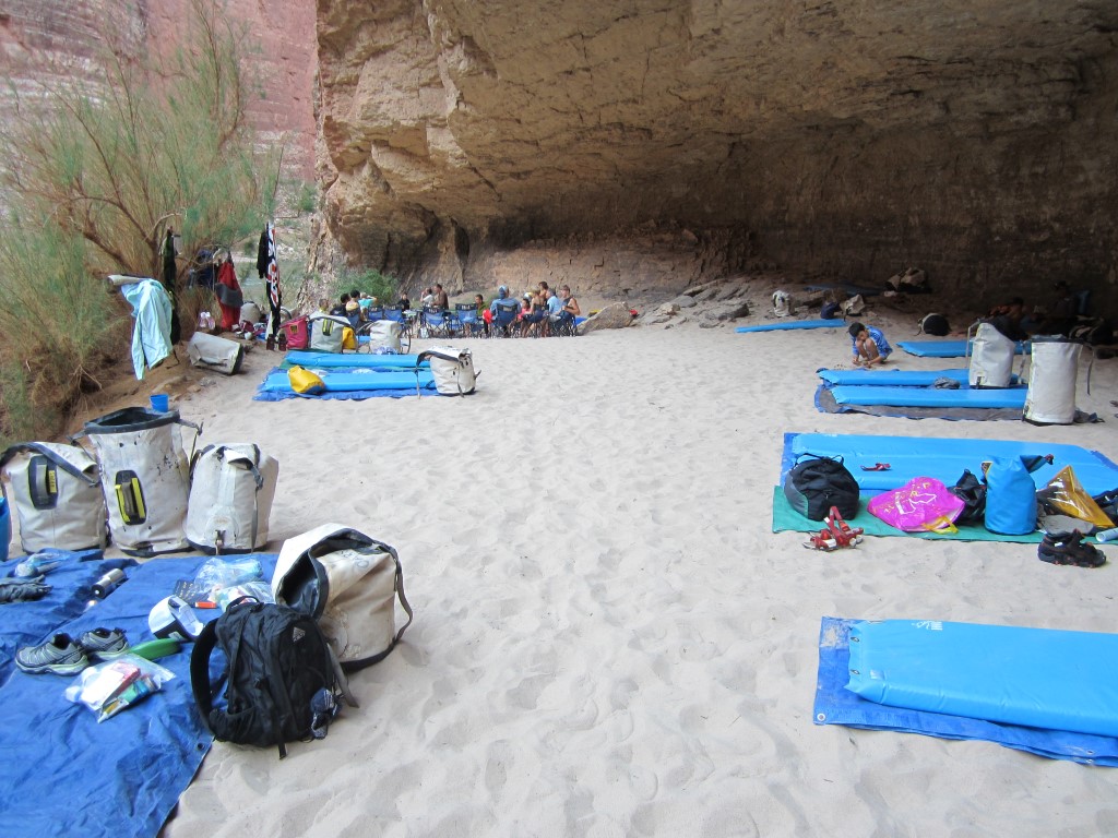
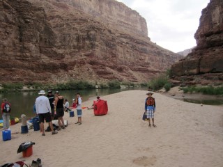
Campsite #2. This was definitely our smallest campsite but very cool and shady with plenty of soft white sand.
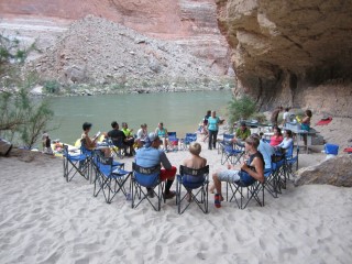
Common space at campsite #2. The kitchen is on the right. You can see Mia cleaning a bowl.
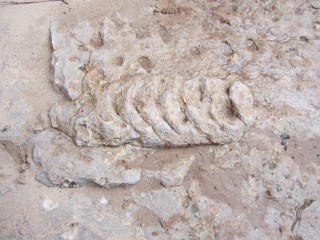
This is a fossil of a prehistoric squid-like creature called a nautiloid.
The Bridge of Sighs. Not to be confused with the one in Venice.
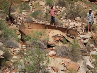
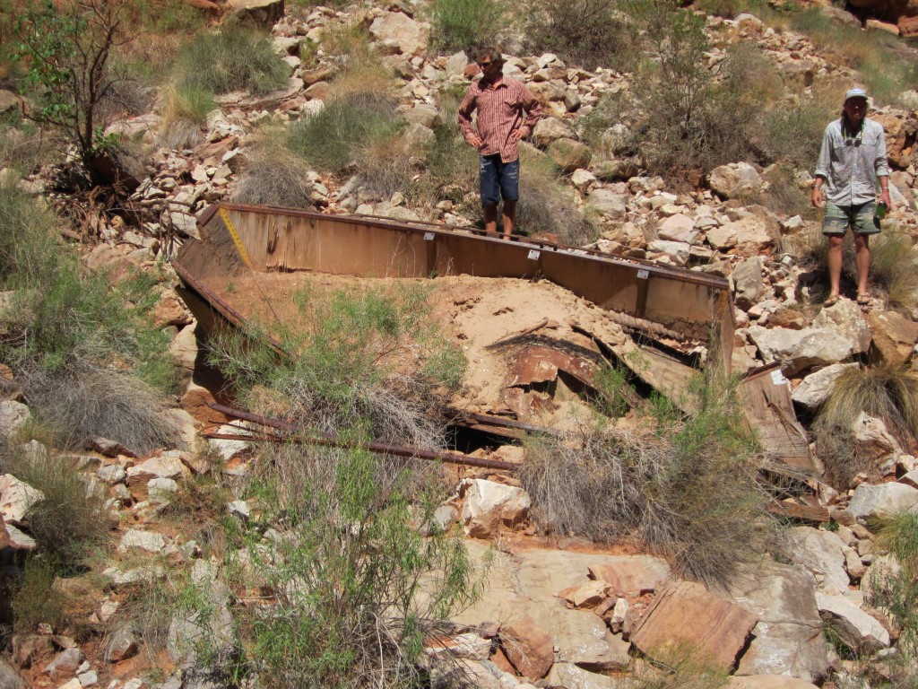
A long-abandoned wooden boat.
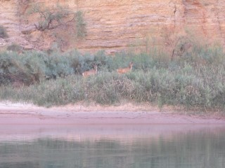
Deer.

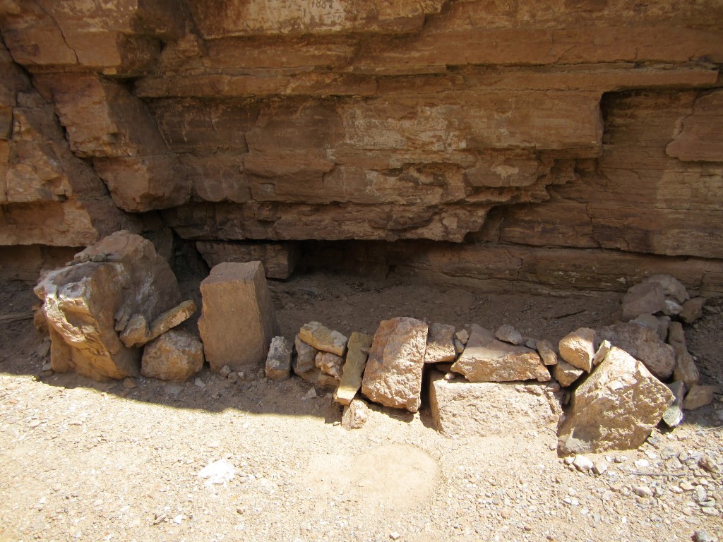
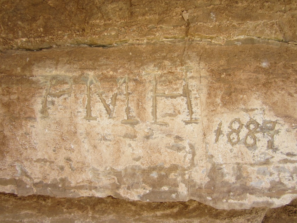
This is a memorial where the body was found of an early Grand Canyon explorer, whose name I forget.

I can at least tell you his initials are PMH.
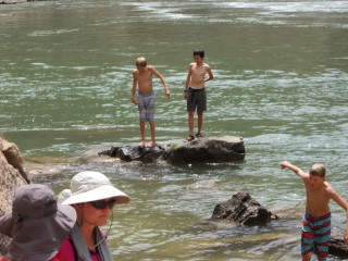
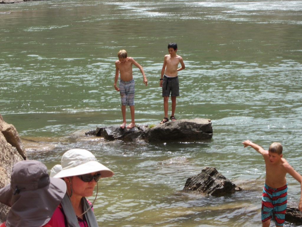
It was always fun to cool off in the river. Fortunately, another family had twin boys, so my son had somebody to play with.

This is Scotty, one of my favorite guides. The older guides were full of colorful stories from their hundreds of trips down the river.
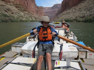
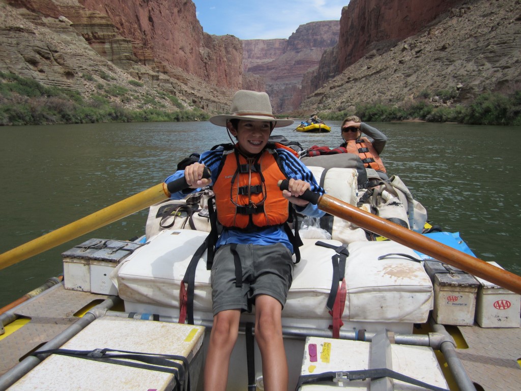
My son Aidan giving Scotty a break from rowing.
This is a waterfall and pool in one of the side canyons we took a hike to.
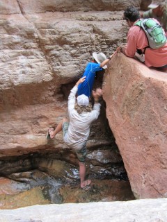
The guides had to help us through this tricky spot on the way down.
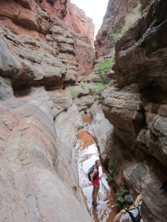
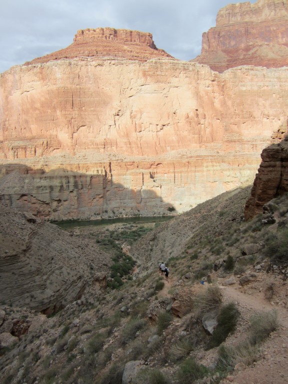
On the hike down. The couple at the bottom of the picture were on vacation from Spain. I drove them crazy with my awful Spanish.

Another picture on the hike down. Campsite #3 was at the bottom. Plenty of room to spread out.
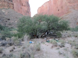
My own camping spot in Nankoweap Canyon.
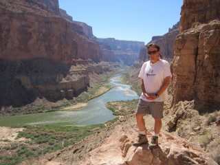
Me at the Puebloan Granaries at mile 52. This is a spot in the canyon wall where the indians would store seeds.
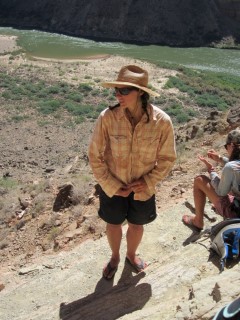
This is our leader Andrea giving a brief lecture on the Granaries.
Me taking a photo opp on the way down.
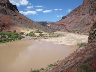
The confluence of the Colorado and Little Colorado rivers. The Little Colorado was running very muddy, comapred to the clear green of the Colorado before this point. Aferward, the Colorado was brown the rest of the trip.
The white stuff along the cliff is salt. The indians used to make runs all the way from the rim of the Grand Canyon, a mile up at this point, to get some of it. They used a secret path known as the Hopi Salt Trail. Mathematics professor at Northern Arizona UniversityHarvey Butchart later rediscovered the route.
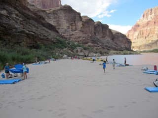
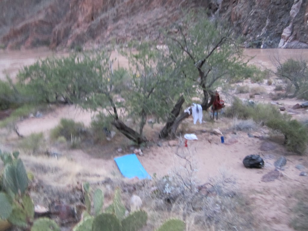
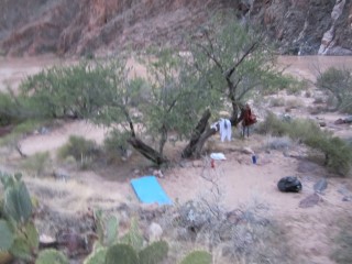
Campsite #4. This was my favorite of our five campsites. A huge soft white sandy beach.
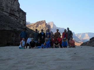
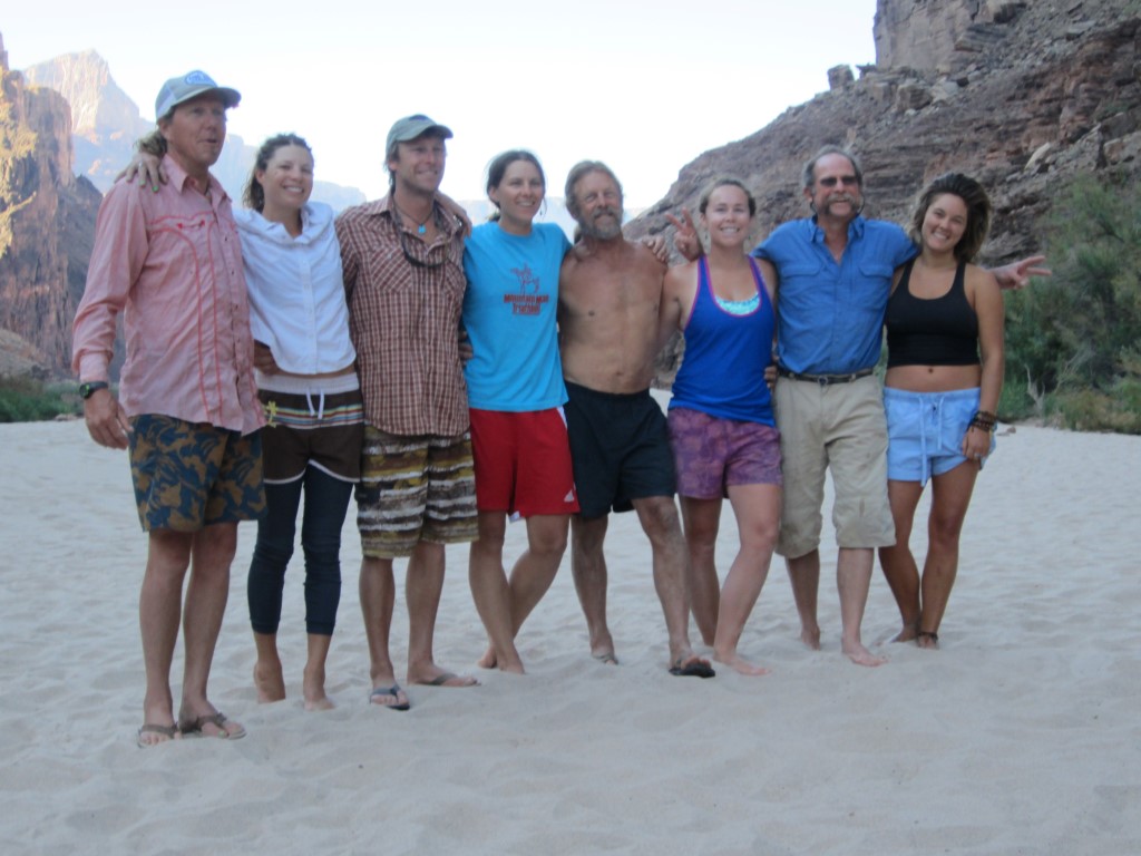
A group photo of the 20 campers taken at campsite #4.

Our hard-working staff of eight, which inluded our leader, four other guides, and three assistants.

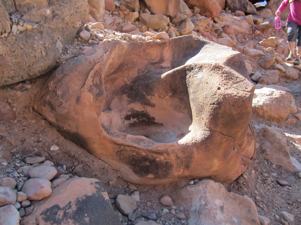
A birthing chair, where Indian women would squat down and have a baby.
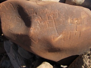
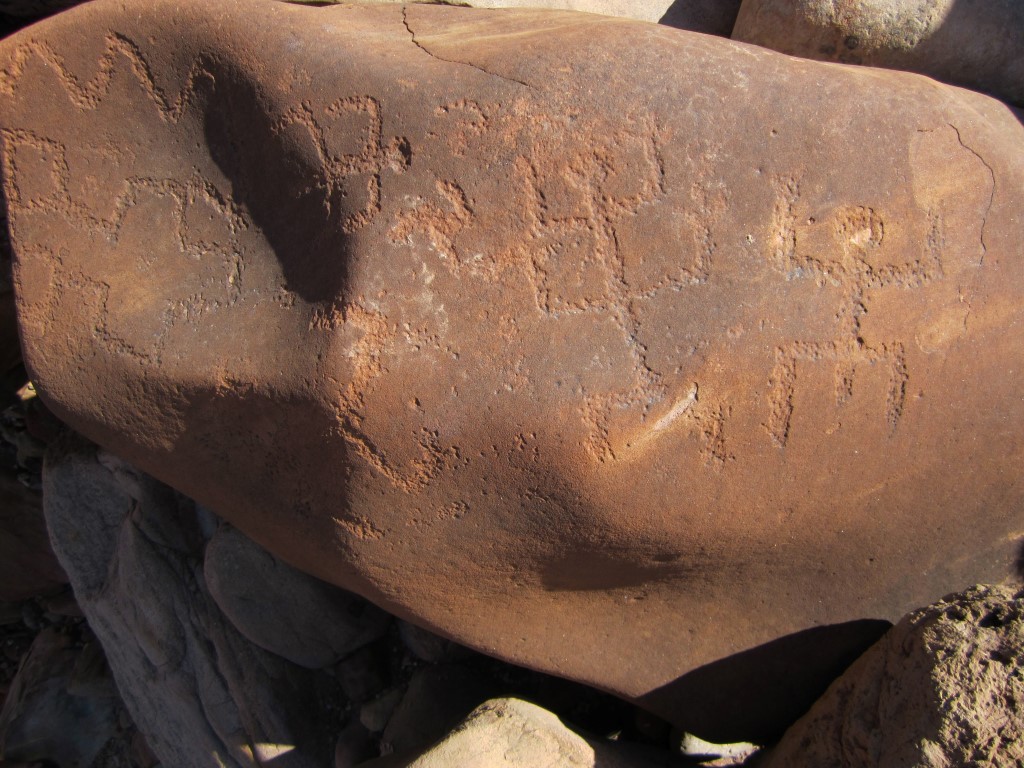
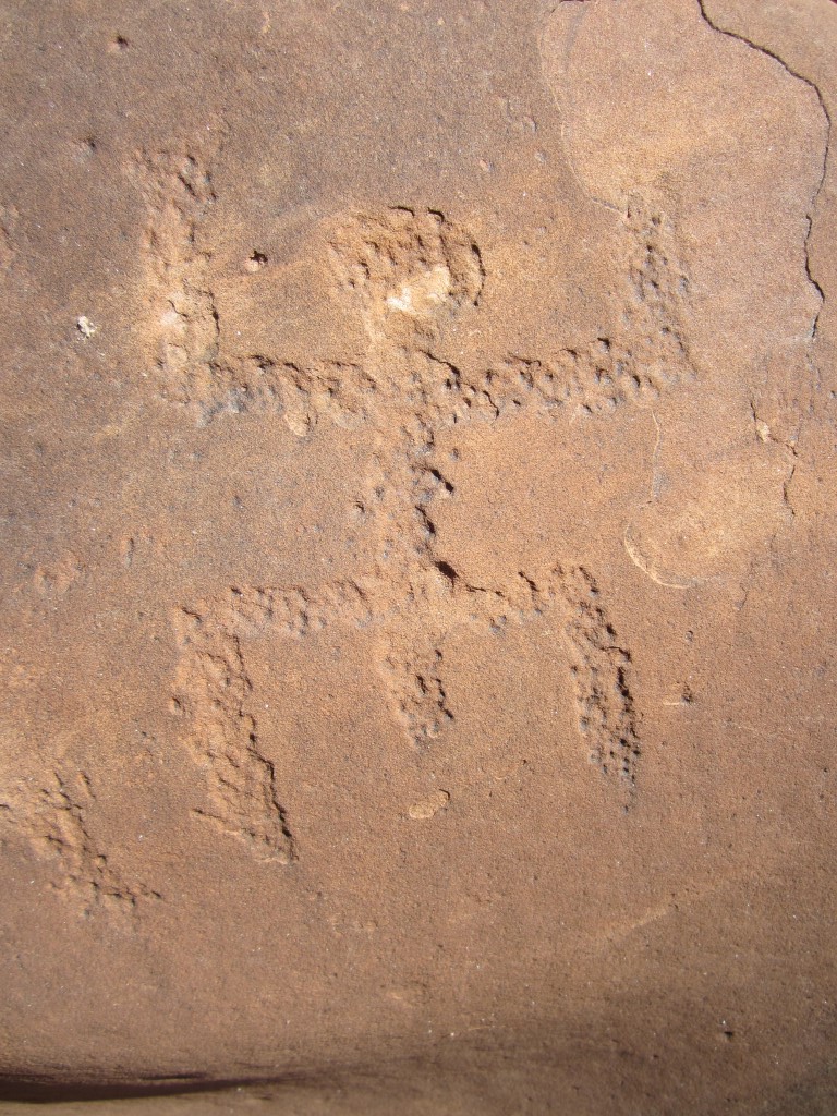
Being from Las Vegas, I'm a little bored with Indian petroglyphs, but I had to have at least one picture of them.
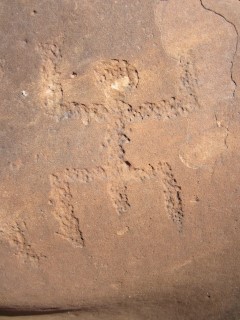
Is it just me who thinks this, or were the Indian men in these petroglphs always very well-endowed?
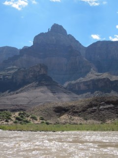
Comanche Point.
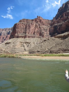
This picture doesn't do it justice, but below is one of the most difficult and dangerous sections of the river, Hance Rapid. This is the only rapid where our guides got out and climbed up the cliff to discuss strategy to get through it. The water flow and position of rocks is always changing, making it different every trip. This picture was taken from the top of the trail looking down.

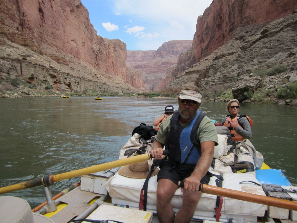
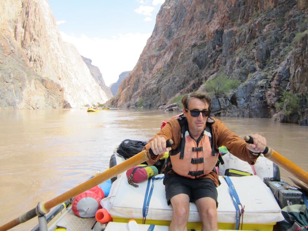
I spent some time rowing every day. It isn't required of the guests, but the guides welcome the break. For me, it was more fun than my rowing machine at home.
This was my spot in campsite #5, just upstream of Phantom Ranch, where we hiked out early the next morning.
The next morning we did the seven-mile hike up to the South Rim. The elevation of the South Rim is 4,600 feet higher than Phantom Ranch, so it was uphill the entire way. We left as early as possible to beat the heat. It took my 11-year-old son and I five hours to reach the top. Although the last couple hours were hot, this is one of the most enjoyable hikes I have ever done.
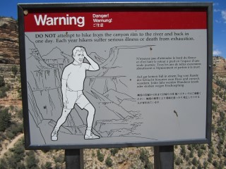
If I may toot my own horn, contrary to the warning of this sign, I've hiked to the bottom of the Grand Canyon and out in the same day three times prior to this trip. Two of those three times were to the North Rim, which is 1,000 feet higher than the South Rim.

At the top.
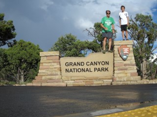
We spent one night in a South Rim lodge before heading home. This was at Mather Point, right after a late-afternoon monsoon.
I hope these photos weren't too boring and may have inspired somebody to do a Grand Canyon rafting trip. While the trip was expensive at about $2,500 per person for five nights, it was a truly unforgettable and enjoyable experience. The staff of O.A.R.S. was fantastic and the food was delicious. I hope to return and do the next segment of the Grand Canyon another time.